How Lake Annecy fills, empties and warms up
A 251 km² catchment, a spring hidden on the lakebed, one outlet. Lake Annecy's water budget also explains the temperature you swim in.
Beaches, coves and 42 kilometres of greenway.
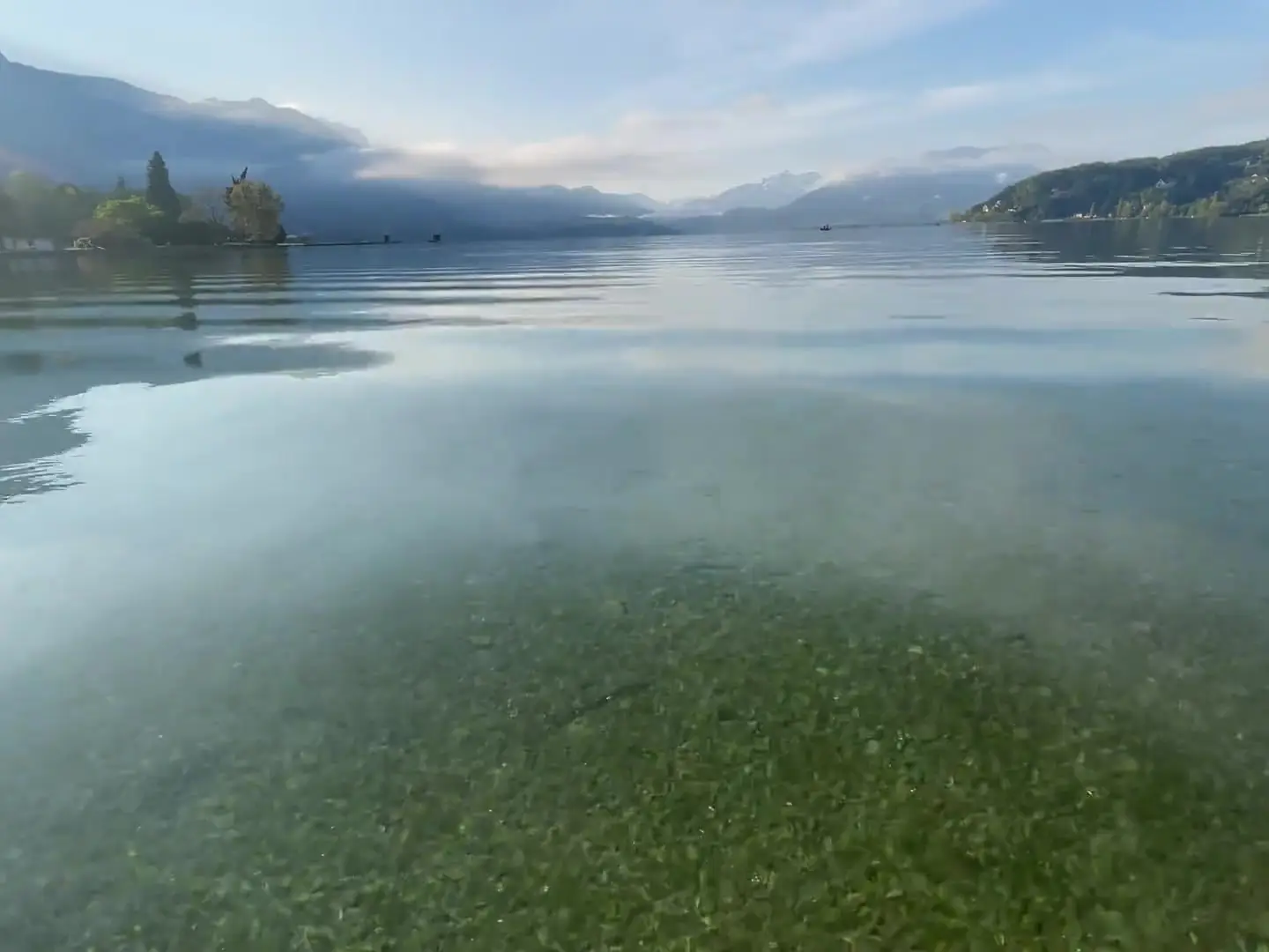
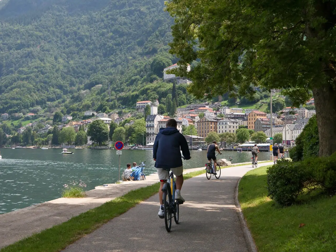
The lake is fourteen and a half kilometres long, and the great majority of visitors only ever see the first one. That is a shame, because everything changes the moment you leave the Pâquier, the wide lakeside lawn at the northern end: the water runs clearer, the beaches empty out, and the greenway along the western shore offers forty-two kilometres of almost flat, traffic-free track all the way to the far end.
This section breaks the lake down into concrete spots. The four free public beaches, and what each one is actually worth. The coves you can reach by bike from the centre, with honest journey times. The two viewpoints on the Roc de Chère, a nature reserve where you walk under trees above turquoise water. The bay at Doussard in the south, with its reed beds and the warmest water in the lake in August. Duingt and its château on the peninsula — the postcard everybody photographs without knowing where to park.
For every spot we give the hour it fills up, the depth of the water at the edge if you are coming with children, and whether there is any shade — a detail you only ever measure in July, lying on a lawn at 32 °C.