How Lake Annecy fills, empties and warms up
A 251 km² catchment, a spring hidden on the lakebed, one outlet. Lake Annecy's water budget also explains the temperature you swim in.
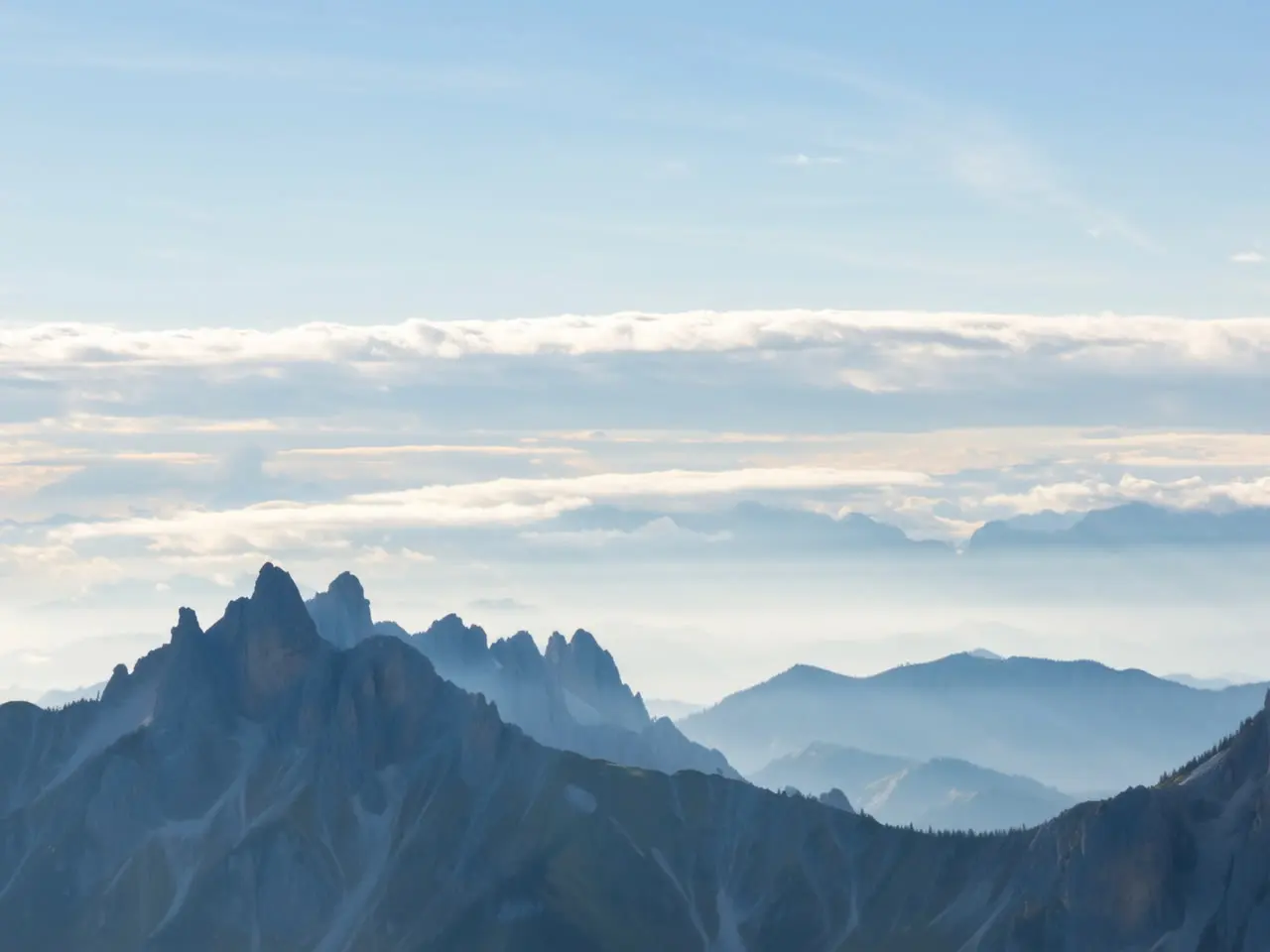
A lake has a regime in exactly the way a river does: inputs, an outlet, a season. Annecy’s is unusual, and it explains two very practical things. Why the water is freezing on 15 June and pleasant on 15 August. And why, in the same breath, it never warms up below a certain depth.
A tiny catchment for a very large lake
The lake covers 26.5 km². Its catchment — every slope whose rain eventually reaches it — covers 251. That ratio, under ten to one, is low for an alpine lake.
This is the first key. A narrow catchment means few sediments, few nutrients, little of anything. The inflows are short, steep and torrential: the Eau Morte at the southern tip, the Ire above Chevaline, the Laudon near Saint-Jorioz, the Bornette and the Biolon. None of them drains farmland of any size. None comes off a glacier either — the high point of the catchment, la Tournette, tops out at 2,351 m, well below permanent ice. Lake Annecy is fed by rain and snowmelt, not by a glacier.
The inflow that appears on no map
The deepest point of the lake is not the bottom of a bowl. It is a hole. The Boubioz opens offshore of the north-west bank, roughly 250 m out, as a funnel that begins around 20 to 25 m down and drops to 81 m. At the bottom of it runs a sublacustrine spring, fed by rainfall soaking into the Semnoz, the long wooded ridge on the western side.
The Semnoz is limestone. Water dissolves the rock, carves a karst network, and re-emerges wherever the geology allows — here, under the surface of the lake. The Boubioz delivers water at about 11.8 °C all year round, which is textbook behaviour for a deep karst spring: neither January frost nor an August heatwave reaches it.
The point to hold on to: a significant share of what fills this lake never shows on a hydrographic map. The exact split between surface and underground inputs is still argued over by hydrogeologists, but the underground share is not a footnote.
One way out, and it runs through the town
Everything leaves at the northern end, by the Thiou, with a secondary outlet in the canal du Vassé. Around 8 m³/s in normal conditions, about 4 at low water, up to 40 in flood — roughly 260 million m³ a year. The lake holds about 1.1 billion.
Do the division: full renewal takes something like four years. That is the most useful number in this article. It means a molecule entering today is still around in three years, and it explains why the clean-up of the 1960s took a decade to show up in the measurements — but only a decade.
The level itself is not free to move. It has been controlled by sluice gates in town since the late nineteenth century, which for a long time meant an almost perfectly flat lake. Since 2019, a seasonal variation of about thirty centimetres has been reintroduced, to give the reed beds back the rise and fall they need.
Why it is cold in June and warm in August
A lake does not heat like a saucepan. Water is densest at 4 °C, it conducts heat badly, and wind only stirs the top few metres. The result: from spring onwards, a warm, light layer sits on a cold, heavy mass without mixing into it. That is thermal stratification. The boundary between them, the thermocline, sets up as early as April and holds until November.
Below that boundary the water stays between 6 and 8 °C all year. Including on 15 August.
So what changes between June and August is not the temperature of the lake. It is the thickness of its warm layer. In June the layer is thin. One windy afternoon, one evening thunderstorm, and it gets turned over: the surface loses several degrees overnight. By August it is thick and buffered, it absorbs storms without flinching, and the surface holds somewhere around 22 to 24 °C.
Two practical consequences:
- The bay at Doussard is always the warmest water. It is shallow, so there is no cold reservoir underneath to pull the temperature back down.
- Jumping off a boat offshore, you cross a step. A few metres down the temperature drops sharply. That is the thermocline, and it is also why cramp catches people out faster offshore than near the bank.
The three moments when the regime becomes visible
Late May and June. Snowmelt plus thunderstorms: the torrents arrive loaded. The southern end, where the Eau Morte comes in, goes cloudy for a day or two after a heavy episode. It is the one time of year you can literally watch the catchment drain.
August. The warm layer is at its thickest and the level at its lowest: the inflows have little left to deliver and evaporation is doing its work. The beaches gain a few metres of shingle.
November to March. The warm layer cools, gets heavier, and sinks. The lake turns over, the water column becomes uniform, and oxygen travels back down to the bed. This is the lake’s annual breath — the one that milder winters make less effective.
What we would not do
- Swim at the southern end the day after a big storm. The turbidity takes a day or two to settle.
- Expect genuinely warm water before mid-June, whatever the air is doing. The warm layer has no depth yet — see our five swim spots you can reach by bike and choose accordingly.
- Trust a monthly average. On this lake, the gap between two days in the same week is often wider than the gap between two months.
- Call it a glacial lake in the present tense. The basin was gouged out by ice at the end of the last glaciation. The water supply stopped being glacial a very long time ago.
A lake reads like a balance sheet: what comes in, what goes out, what sits at the bottom. Annecy’s fits into three numbers — 251 km² of catchment, one outlet, four years. Everything else follows from them, including the temperature of your toes in June.
Sources
Read next
Around Lake Annecy →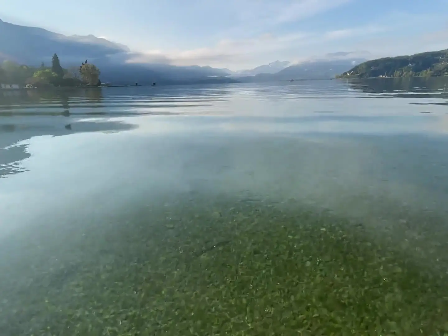
Why Lake Annecy's water is so clear
The lake nearly suffocated in the 1950s. What saved it was a 42 km sewer collector laid right around its shores between 1961 and 1976.
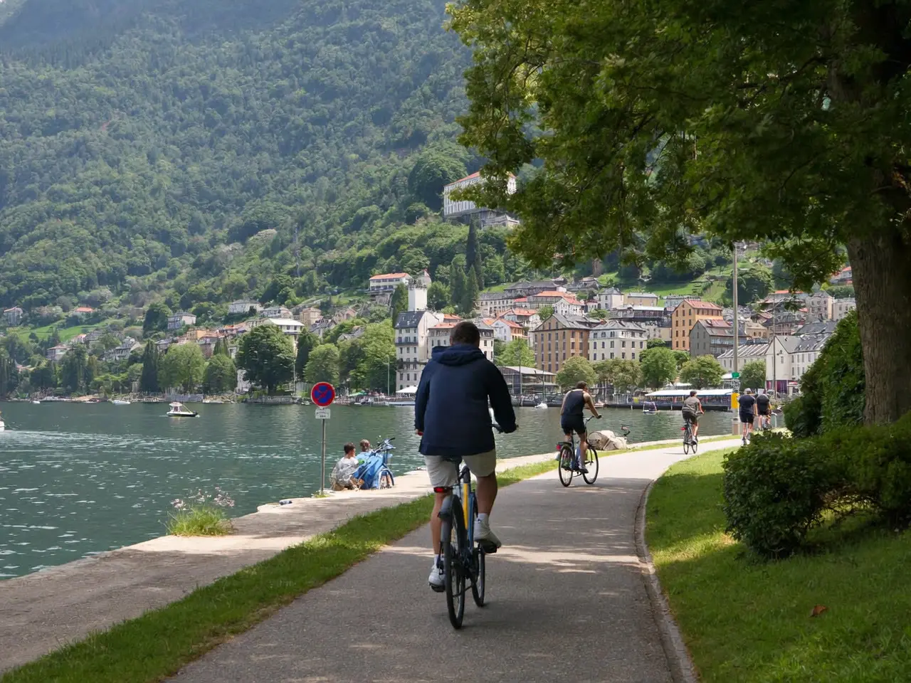
Swimming: five spots you can reach by bike
The greenway puts much of Lake Annecy within cycling range. Five places to swim, with ride times and the hour each one fills up.