How was Lake Annecy born? The story as a comic strip
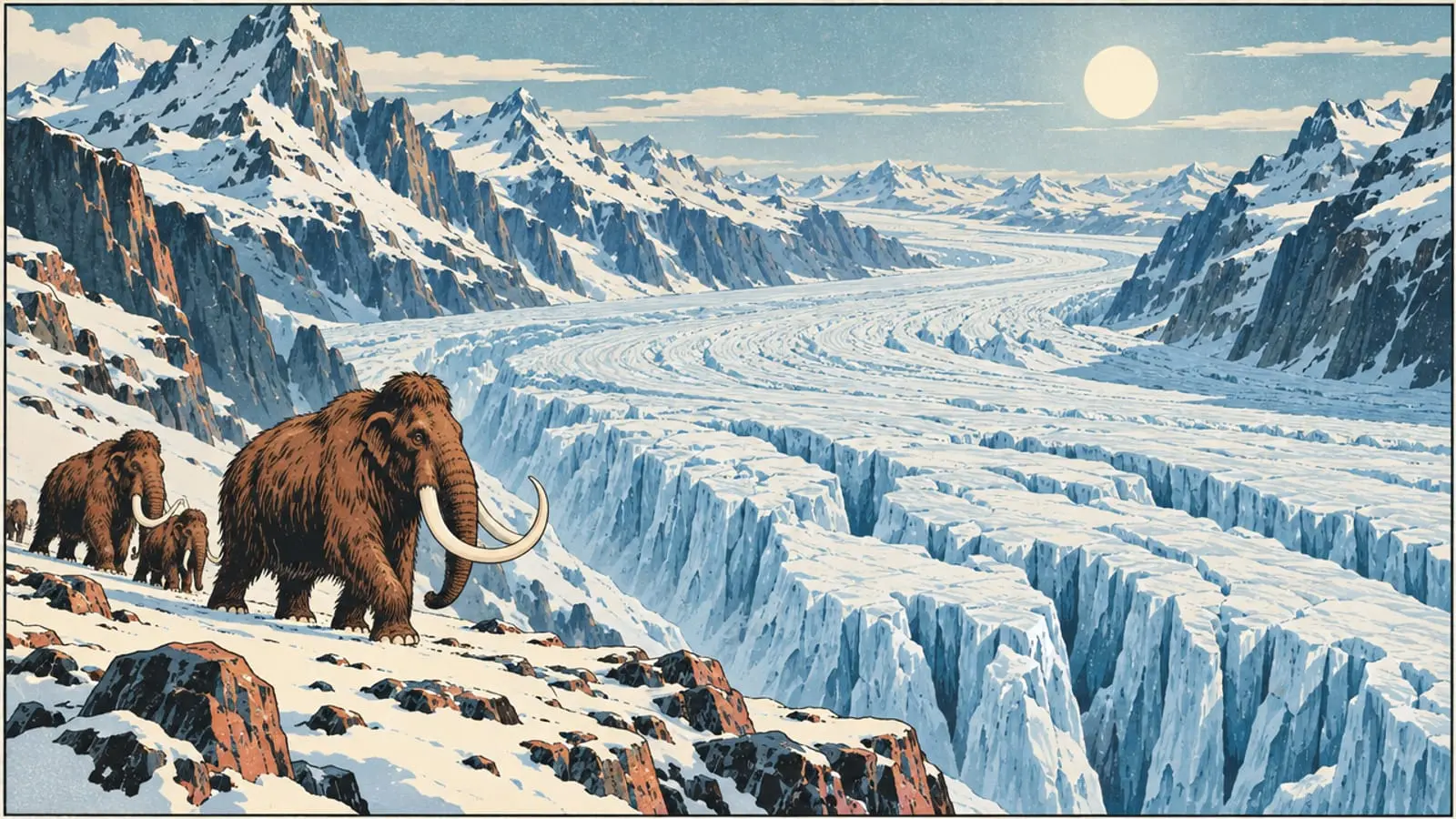
Twenty thousand years ago, the valley lay under ice. Nine drawn panels to understand, with Lou and Malo, how Lake Annecy came to be.
-
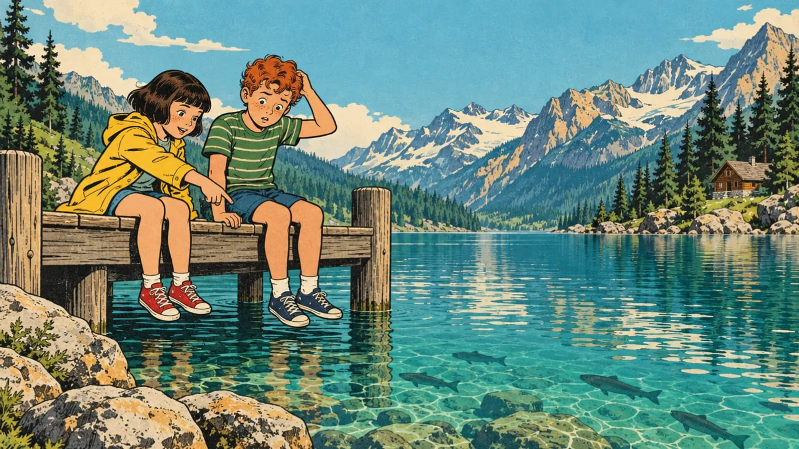
Lou says Hey, Malo… where did this lake come from?
Malo says Erm… hasn’t it always been here?
-
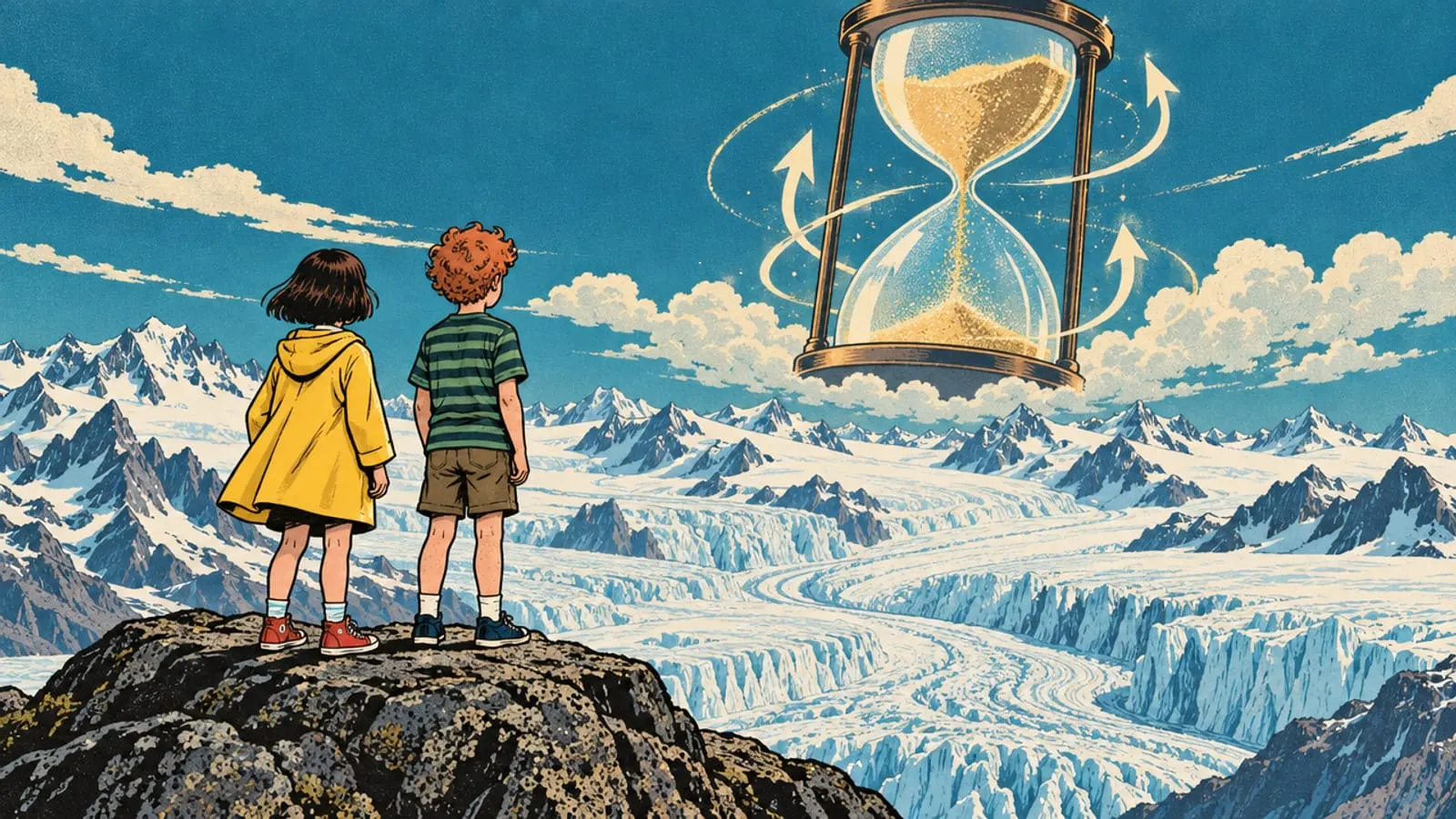
Not at all! Let’s go back in time. For about 2.6 million years, the Alps have been through many ice ages.
-
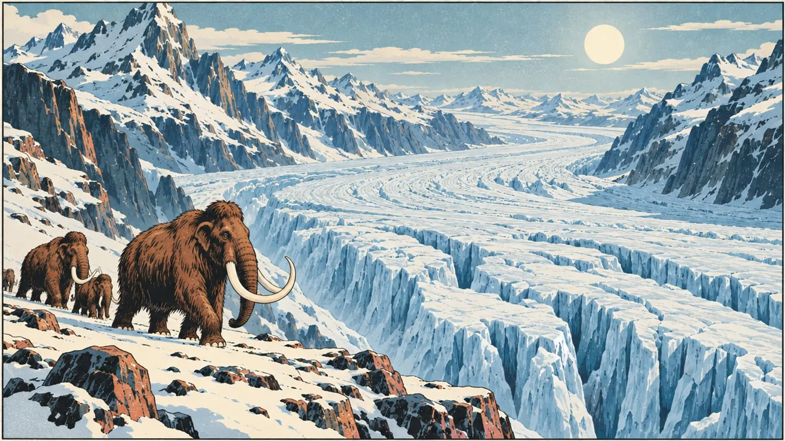
About 20,000 years ago, at the end of the last great ice age, the Würm, the valley lies under ice. It flows down from the Mont Blanc massif, the Beaufortain and the Tarentaise.
-
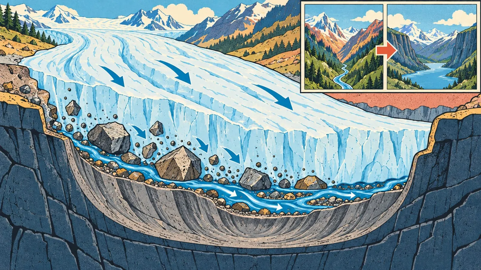
The ice moves very slowly, like a giant grater. The stones it drags along and the water running underneath wear down the rock and dig out the valley.
-
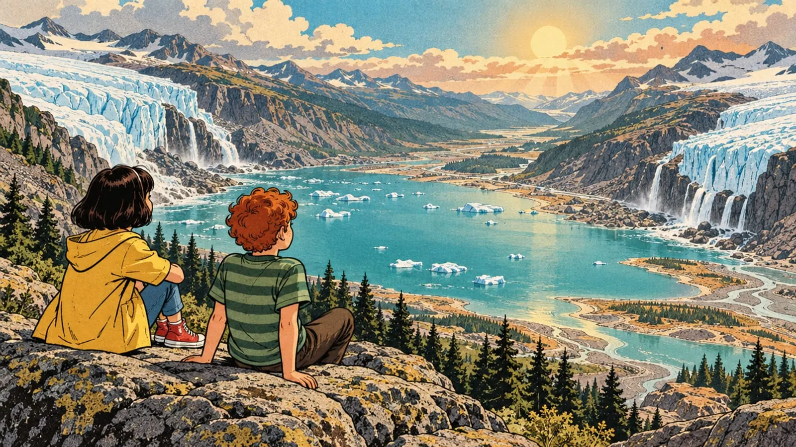
Then the climate warms up. The glaciers melt and pull back. Their meltwater fills the great hollow they have left behind.
-
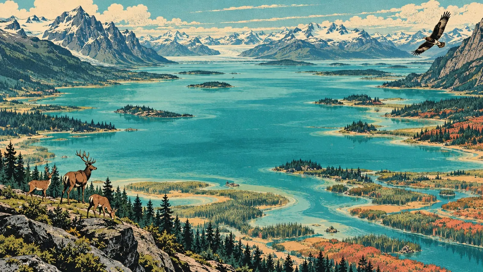
The first lake is enormous: about 63 km², more than twice today’s 27 km². Its water sits 14 metres higher, and it reaches south as far as Saint-Ferréol.
-
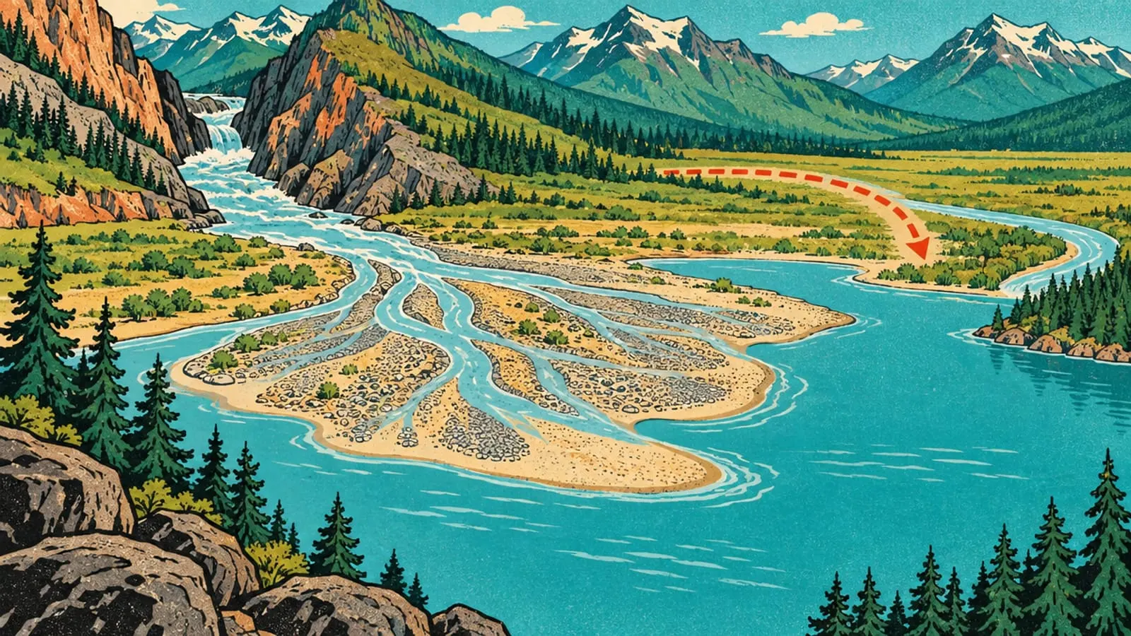
A river, the Fier, flows into the lake. It builds a delta of pebbles and sand… right where the town of Annecy stands today! About 8,000 years ago, the Fier changes course and leaves the lake.
-
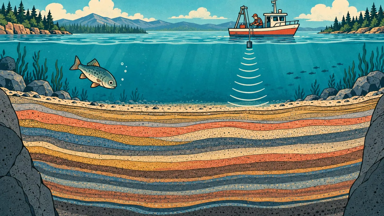
Since then, the lake has been filling up very slowly, about a millimetre a year. Using sound waves, scientists have probed the bottom: up to 150 metres of layers!
-
A lake doesn’t last forever: within a few tens of thousands of years, it fills up. This one still has plenty of good years ahead.
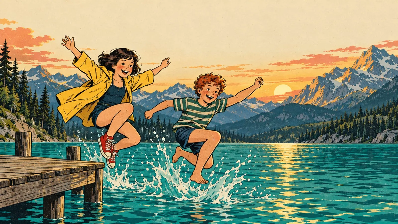
Malo says So we’re swimming in a present from the glaciers!
Lou says Last one in is a mammoth!
A story in nine panels to understand how Lake Annecy was born. It takes two minutes to read, from about age 7… and grown-ups will learn something too.
For grown-ups: what the geologists say
The lake floor has been surveyed with seismic waves, a kind of ultrasound scan of the ground. A team of geologists measured up to 150 metres of sediment along the lake’s axis, and reads the end of the last ice age in it, layer by layer.
The oldest layers were laid down against the fronts of two valley glaciers, at either end of the lake. Then those fronts retreated fast, far from the basin, and the water spread into a lake larger than today’s.
The most striking figure: if all this infill came after the last glacial surge, about 20,000 years ago, then 90% of it settled in under 8,000 years. The pace has slowed a great deal since, to roughly a millimetre a year.
This is not the first lake to fill the valley. A larger one already existed between Cran-Gevrier and Lovagny, from the end of the Riss glaciation to the start of the Würm, about 65,000 years ago. As for the Fier, which built a delta where the town now stands, it left the lake about 8,000 years ago, probably because of the Vuache fault, a fracture running from Fort-l’Écluse to the lake.
To go further: how deep the lake goes, where its water comes from today and its exact dimensions.
Sources
Read next
Around Lake Annecy →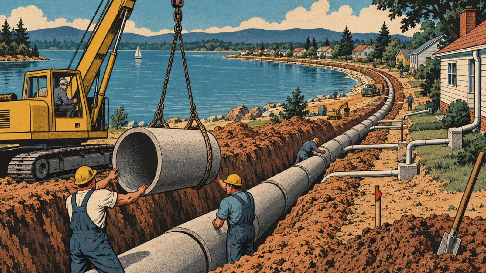
The lake that nearly choked: the story as a comic strip
In the 1950s, Lake Annecy was turning murky. Nine panels to understand, with Lou and Malo, how it was saved and why its water is so clear today.
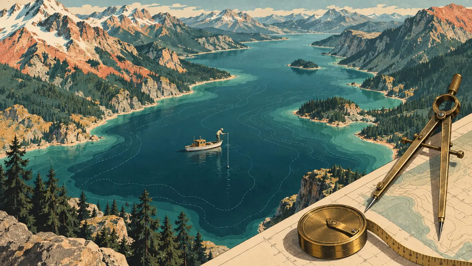
Lake Annecy facts and figures: size, length, altitude, depth
27 km², 14.6 km long, 447 m above sea level, 41 m deep on average: Lake Annecy’s dimensions from the body that manages it, and what they mean for you.