Lake Annecy facts and figures: size, length, altitude, depth
27 km², 14.6 km long, 447 m above sea level, 41 m deep on average: Lake Annecy’s dimensions from the body that manages it, and what they mean for you.
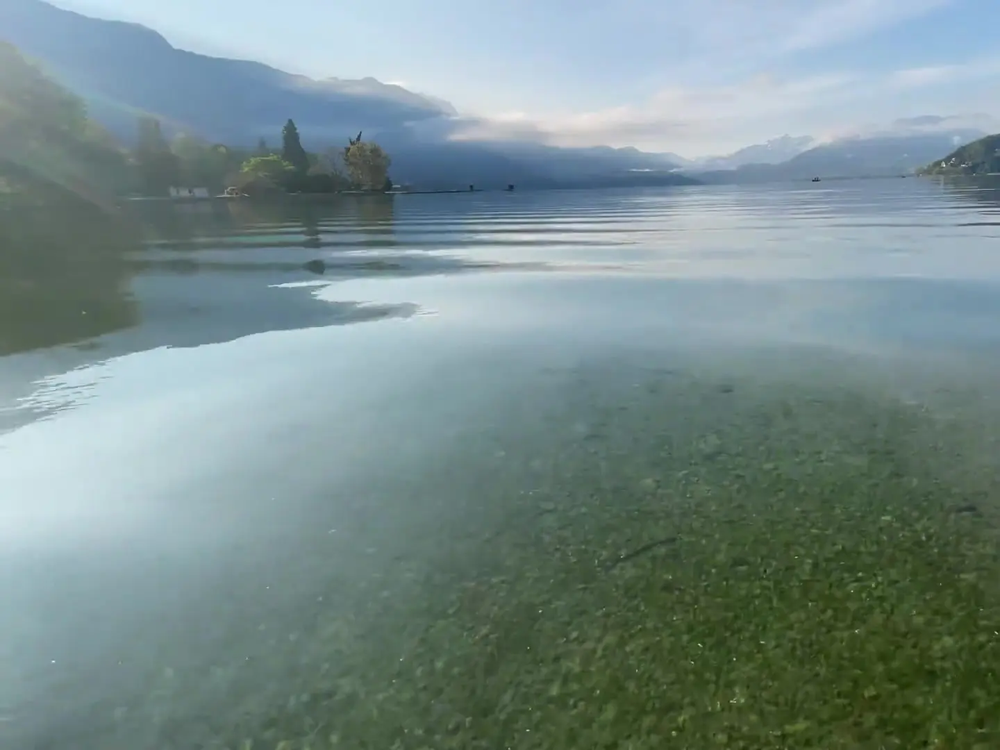
A cruise takes an hour and a half to go round it, a bike takes a day, and yet its figures still surprise. Lake Annecy is longer than it looks from the Pâquier, shallower than you often read, and it supplies the tap water of the whole town. Here are its dimensions as published by SILA, the joint body that manages the lake, and what they change for a visitor.
The fact sheet
| Measure | Value |
|---|---|
| Area | 27 km² |
| Length | 14.6 km |
| Width | 0.8 to 3.2 km |
| Altitude | 447 m |
| Average depth | 41 m |
| Maximum depth | 78.7 m (Boubioz hole) |
| Volume | 1.12 billion m³ |
| Main inflows | the Eau Morte, the Ire, the Laudon, the Bornette |
| Outflow | the Thiou, towards the Fier then the Rhône |
France’s second-largest lake
At 27 km², Lake Annecy is the second-largest natural lake in France by area, behind Lac du Bourget — leaving aside Lake Geneva, shared with Switzerland. That is a lot for a mountain lake, and it gives it two faces: the Grand Lac to the north, wide and open onto the town; the Petit Lac to the south, narrowing between Talloires and Duingt down to the head of the lake at Doussard.
14.6 km long, 42 km around
From the Pâquier to the head of the lake is 14.6 km as the crow flies. But the shore draws bays and headlands: cycling around the lake is about 40 to 42 km, with the Roc de Chère climb. The width ranges from 0.8 to 3.2 km: the lake opens wide in front of the town and narrows in the south, between Talloires and Duingt.
447 m up, 2,351 m above
The lake sits at 447 m. Around it, the summits rise above 2,000 m, and La Tournette peaks at 2,351 m: nearly 1,900 m of drop between the water and the highest summit above it. That relief makes the Pâquier sunsets and the autumn seas of cloud.
Depth: 41 m on average, 78.7 m at the bottom
SILA gives an average depth of 41 m and a maximum depth of 78.7 m, at the Boubioz hole, a funnel off the north-west shore. You will often read 82 m: it is the most widespread figure, repeated by many guides, but the lake’s management body publishes 78.7 m. Our article on how deep the lake is explains where it drops away, and why the Petit Lac is far shallower.
1.12 billion m³ of drinking water
The volume reaches 1,124,500,000 m³. Above all, this water is drunk: according to SILA, the lake’s purity supplies drinking water to more than 150,000 people in the Annecy area every day. It is the result of half a century of clean-up, told in our article on why the water is so clear.
Where the water comes from, where it goes
Four main inflows — the Eau Morte, the Ire, the Laudon and the Bornette — and a hidden spring at the bottom. A single outflow: the Thiou, which runs through the old town before joining the Fier, then the Rhône. The details are in our piece on how the lake fills and warms, which also explains why the water is still cold in June.
What these figures mean for you
- By boat, the narrated full-loop cruise takes an hour and a half: the right scale to see both shores.
- By bike, allow the day for the 42 km, swims included.
- For swimming, the 41 m average depth explains water that warms slowly — our article on the water temperature gives the calendar.
- In winter, this volume of water keeps the summer’s heat: the lake almost never freezes.
A 14.6 km lake is best discovered with a plan: which shore, which day, on foot, by bike or by boat. Our Annecy-specialised AI concierge organises your days hour by hour around the lake. Day 1 is free →
Frequently asked questions
- How big is Lake Annecy?
- 27 km², according to SILA, the body that manages the lake. It is the second-largest natural lake in France by area, after Lac du Bourget, leaving aside the French part of Lake Geneva.
- How long is Lake Annecy?
- 14.6 km from north to south, with a width ranging from 0.8 to 3.2 km. The full loop by bike is about 40 to 42 km, because the road follows the shoreline.
- How high is Lake Annecy?
- 447 metres above sea level. The surrounding summits rise above 2,000 m: La Tournette peaks at 2,351 m, which is why the relief looks so dramatic from the water.
Sources
Read next
Around Lake Annecy →
Lake Annecy water temperature: what happens, month by month
Over 25 °C at the surface in summer 2023, around 7 °C through the whole lake in winter: Lake Annecy’s water temperature month by month, backed by measurements.
Swimming in Lake Annecy: Water Temperature, Spots and Open-Water Rules
Water temperature month by month, where to swim open water, the thermocline, wetsuits and the lake crossing: swimming in Annecy, taken seriously.