Going up the Semnoz: 1,250 metres above the lake
Annecy's own mountain, explained: how the ridge is built, what you actually see from the top, the hour that changes everything, and the seasons.
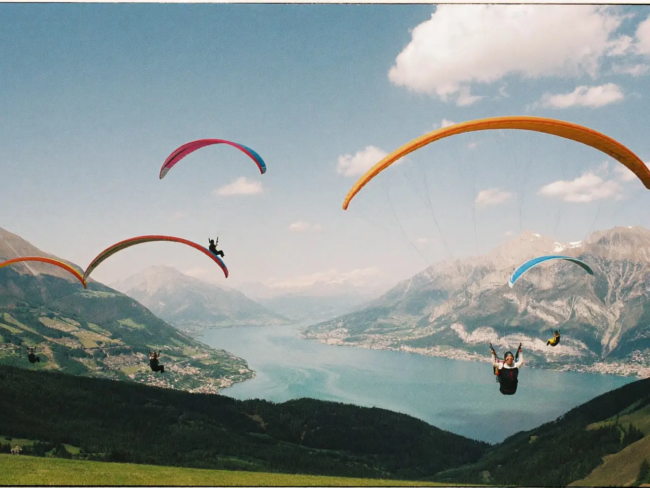
Seen from the Pâquier, the lakeside meadow at the top of the town, the Semnoz looks like nothing much: a long wooded hump closing the south-western horizon, with no summit you could point at. That is exactly the trap. The hump tops out at 1,699 m, roughly 1,250 m above the surface of the lake, and it is from up there that Annecy finally makes sense — a town wedged in a corridor between two folds of limestone.
A ridge, not a peak
The Semnoz is not a free-standing mountain. It is the last link of the Bauges massif before the gap Annecy sits in: a crest running north to south for some fifteen kilometres, parallel to the lake, with the water on its eastern side and the Chéran valley on its western one.
That orientation explains everything else. You do not go up the Semnoz for a viewpoint, you go up for a ridge. The panorama moves as you walk, and it faces both ways — the lake and the Alps on one side, the Bauges on the other. The high point, the Crêt de Châtillon, carries a summit cross and an orientation table; it is the one place where both slopes fit into a single glance.
The lower flanks are forest, the top is summer pasture, and the line between them is abrupt. It is not a natural line: grazing has held the crest open for centuries. Without the herds, the spruce would have climbed back and there would be no view at all.
What you actually see from the Crêt de Châtillon
Eastwards, the lake along its full length: both basins, the narrows at Duingt that separate them, and the curve you cannot read from the quaysides. Behind it, la Tournette (2,351 m), the Dents de Lanfon, the Aravis range, and Mont Blanc at the back of it all when the air is clean.
West and south, a landscape nobody photographs: the heart of the Bauges, the Arcalod, the Chartreuse further off, and on a very clear day the blue line of the Jura. It is the forgotten side, and it is the one that gives you the scale. From the quays the lake looks vast. From 1,699 m it fits into one look.
Timing: the Semnoz is an end-of-day mountain
In the morning the sun rises behind the lake. You are looking straight into it: the surface glares, the relief of the eastern shore flattens into shadow, and the photographs are poor. The air is cleaner than it will be later, but the light is working against you.
Late in the afternoon the geometry reverses. The sun drops behind the ridge, at your back, and lights head-on everything you are looking at: the water recovers its colour, la Tournette gains detail, and Mont Blanc turns pink for twenty minutes before it goes out. That is the slot — the same one we recommend in our 48-hour itinerary.
One detail catches everyone out: it is 7 to 8 °C colder than in town, plus wind, which never really stops on a crest. In August people arrive in T-shirts for the sunset and go back down after ten minutes. A fleece in the bag decides what time you leave.
The 1,250 metres, and how you choose to pay them
The height gain does not change. Only the currency does.
By bike, this is the reference climb of the Annecy basin: about 17 km from town at a shade over 8 per cent, with no flat section to breathe on. The road hosted a Tour de France summit finish in 2013, which tells you what pace it can be ridden at by people who are paid to.
On foot from Annecy, through the Puisots forest, it is a full mountain day: alpine-route height gain, under trees for the first two thirds, with the view arriving only at the end.
By car, the road runs almost to the top, and there is nothing wrong with that — except this: if you drive up for ten minutes and a panorama, you have skipped the best of the Semnoz, which is walking the crest. Allow an hour there and back as a minimum, and keep your eyes to your right.
Two ground rules. There is no shade and no water on the pasture, so carry a bottle, exactly as you would for the swim spots at the south end of the lake. And close the gates behind you: the herds graze loose all summer.
What the season does
June and July. The pasture flowers, the cattle come up, the grass is high. This is the finest stretch for walking the crest, and the only time the Semnoz has a smell.
August. Heat rises, and haze rises with it: by the middle of the day Mont Blanc vanishes into a white background almost daily. It comes back in the evening. Do not go up between 11:00 and 16:00 expecting distance.
October and November. The best season, and the quietest. When a low grey layer sits over Annecy for days on end, it is often an inversion: the fog holds the bottom of the bowl, the crest is in sun, and you watch the lake disappear under a sea of cloud. The rule fits in one line — low, even ceiling, high pressure, no wind: go up.
Winter. Snow holds on the crest and the whole logic changes. The Semnoz turns into skiing terrain, access depends on the snowpack, and the view of the lake has to be earned from a white landscape. Check the state of the road before you set off, not on arrival.
April and May. The ungrateful season. The forest is sodden, the crest keeps snow patches long after the town has put its terrace tables out, and the pasture has not greened up. It is also when you will have it to yourself.
What we would not do
Drive up in the middle of an August afternoon for the view. Give up because the town is grey, without checking whether it is an inversion. Drive to the top, take three photographs and come back down: the crest is meant to be walked, otherwise a postcard does the same job. And set off dressed for the thermometer in the town centre.
The lake photographs from below. It only makes sense from above.
Sources
Read next
Things to do in Annecy →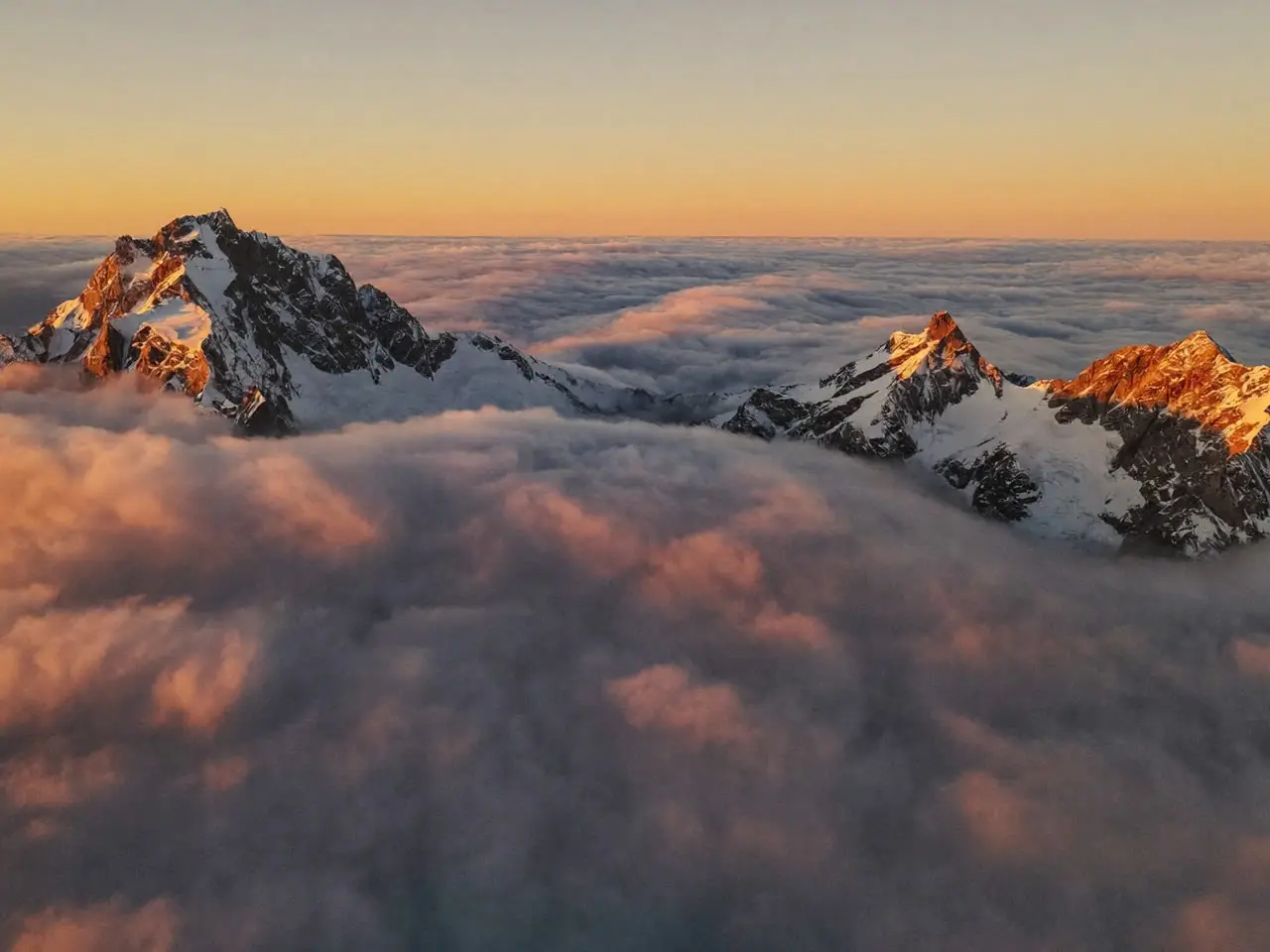
Chute de la Druise: the Vercors waterfall, far from Annecy
Nearly three hours' drive from Annecy, in the Vercors range, a 72-metre waterfall at the end of an easy 1.8 km trail. The detour is deliberate.
Gorges du Sierroz: a day trip worth the drive
A 35-minute drive from Annecy, near a different lake: suspended walkways over a gorge, old mill ruins and a waterfall, reopened to visitors in 2021.